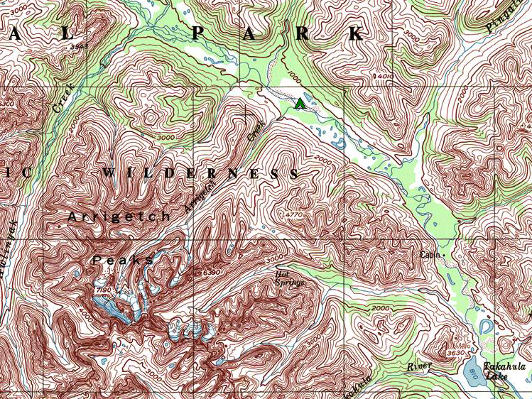
It wasn’t long ago that I had 3 milk crates under my desk and every time I wanted to research a new route or look up the distance of a river trip I would have to dig through the box, then ending up with maps spread all over on the floor. I do love my paper maps, but I really appreciate having all of the Alaska maps right on my computer. There are now a host of great digital mapping options. One of my favorites is National Geographic’s TOPO! software. This allows you to have all the Alaska topographic maps on your computer in a seamless and searchable format. It is a truly awesome amount of information and it requires no internet connection. Unfortunately National Geographic is no longer making this product, but you can still find disks for sale online. The other issue with this solution is that it doesn’t work on the new Apple operating system (Lion). When I upgraded my computer this fall I lost all my maps.
After drying my tears, I found a couple of good alternatives. Unfortunately both require an internet connection, and here in rural Alaska I end up waiting for my maps to download more than I would like. For most of my map browsing I now use Google Earth. The satellite imagery on Google Earth by itself isn’t very helpful in planning a trip, but there is a topo map overlay that you can add to Google Earth and Wow! Now I have all the topographic maps for Alaska again and the satellite imagery too. The map overlay can be downloaded from http://kml.gina.alaska.edu/, thanks to the University of Alaska. The scale of the map automatically adjusts as you zoom in and out, giving you access to all the detail or breadth you need if you can wait for it to load.
The other digital mapping solution which I especially like when I want to make printed maps is mytopo.com. In addition to the custom map printing service mytopo.com also has a subscription service for unlimited access to maps of the whole country. For on-screen browsing, Google Earth is easier to use but with printed maps from USGS running at $7- $8 dollars a sheet, the custom printed maps from mytopo.com are a great deal for a quality product.
I’m sure there are other great options out there but these are the ones I’ve tried and liked. Happy trip planning.
By Michael Wald, Co-owner and Guide


