Last updated: January 6, 2022
Itinerary
What follows is a general flow of events. Expect the unexpected and prepare to be flexible.
Day 0
Meet your guide for a pre-trip meeting at 4 pm in Fairbanks at Arctic Wild headquarters.
Day 1
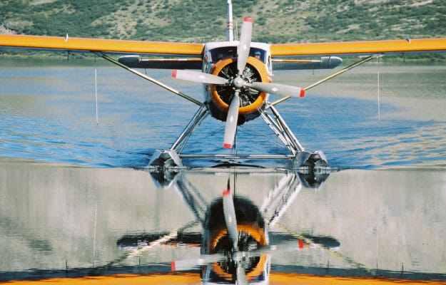
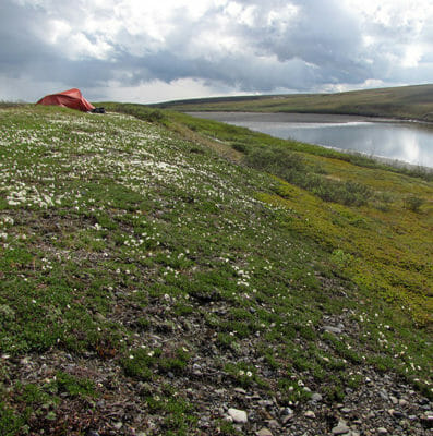
Fly north from Fairbanks across the Yukon River to the village of Bettles, nestled on the southern flanks of the Brooks Range. From here, we catch a plane that will fly us northwest over Gates of the Arctic National Park to a lake near the remote Nigu River. After unloading the airplane and carrying our gear to the river we will make camp on a nice gravel bar with views of mountains all around.
Day 2
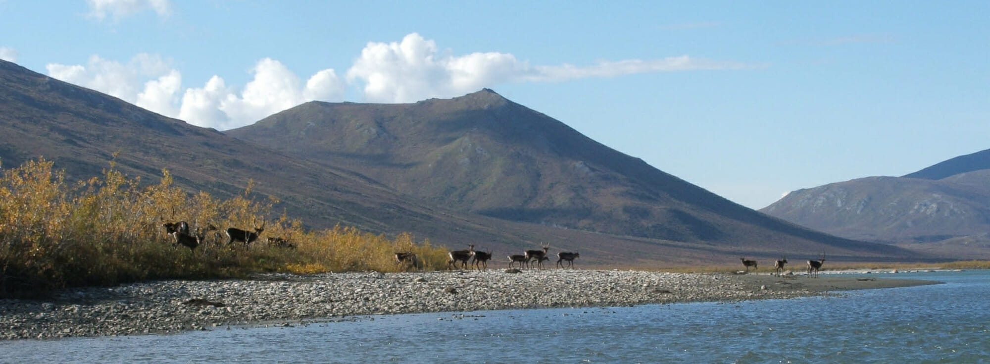
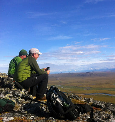
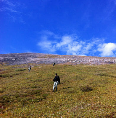
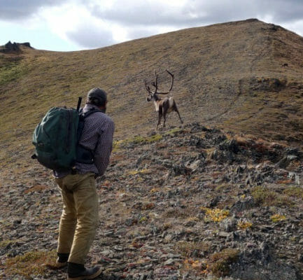
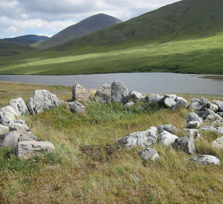
We spend the day getting to know the Arctic. After breakfast, we head into the mountains on foot. Sandbars show the tracks of caribou, moose, and maybe wolves or bears. The tundra is soft underfoot and rich with a variety of plants and berries. On this first hike we pass a long lake and can try to catch a few grayling. Along the shores of this lake are several ancient stone tent rings marking the camps of Inupiaq hunters of long ago. Their stone fences used for herding caribou into the lake are also in evidence. Departing the lake we can head-up a long rocky ridge. Caribou like feeding here and we gain views down-river of the route we will take over the next couple of days. After a relaxed picnic lunch and plenty of time to enjoy the mountain views, we will make our way back towards the river and camp. In the evening we will prepare the boats for the river. You are welcome to help or explore on your own.
Day 3 -4
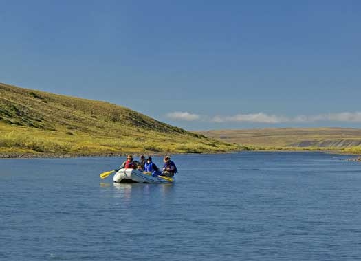
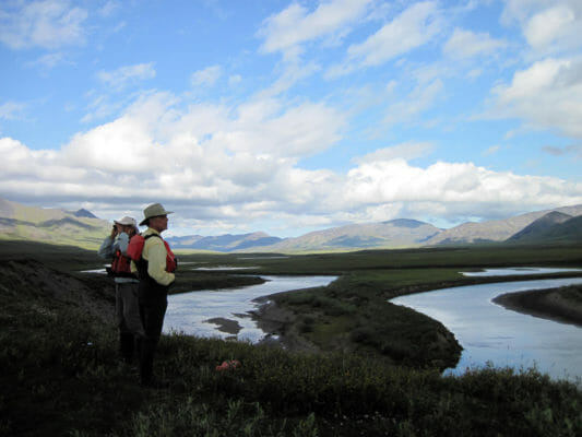
Breaking camp takes some time early in the trip and with 24 hours of daylight, there is no hurry. When we get the boats loaded and complete our safety briefing we push out into the current. The current is swift so we can cover 8 miles before lunch without trouble. When we see wildlife, we can pull ashore and get out the spotting scope and binoculars. The Nigu is not a big river but the valley is gorgeous. Clear waters push the boats first towards one cliff and then back towards the permafrost bluffs. When we near Nigu Bluff we will search for a suitable camp, haul the boats ashore and settle into a new spot.
Day 5
Another day on the river. We have all day and just 12 miles to cover, which leaves time for a nice hike at lunch and ample opportunities for bird watching, fishing or other diversions.
Day 6
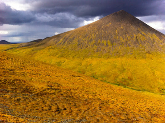
Puvkrat is the Inupiaq name for a dragon’s-back shaped ridge running perpendicular to the river. The rock spires host nesting falcons and hawks and ancient hunters built small caves in the rock to store meat. Cloudberries abound and the ridge stretches endlessly to the west. If conditions permit we will spend a full day exploring along the ridge.
Day 7
The Nigu joins the Etivluk River below Nigu Bluff and the river doubles in size. The mountains begin to recede and we enter a land of rolling hills and rock bluffs, tundra stretching endlessly beneath a cavernous sky. Instead of dodging rocks and negotiating small cliffs we spend our paddling effort working to stay in the main current and negotiating the wind. It is a full day on the river paddling through an area where we often see Muskoxen feeding in the willows. At day’s end we perch our camp on a bluff well above the river for commanding views of the wilderness and wildlife.
Day 8
Another day on the river. By now the routine of breaking camp is quick and efficient leaving more time for a hike during lunch or a stop at a promising fishing spot. The current picks-up its pace today and the river winds past great ice cliffs dripping with 10,000 year old water and calving great chunks of permafrost and ice into the river on warm days. Ptarmigan are common here along with raptors hunting them. Our camp this night will be positioned for a hike to Kingak Mountain the following day.
Day 9
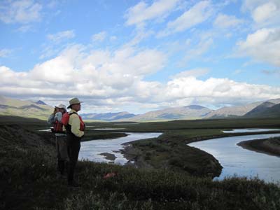
Kingak is a hard hike. The tundra is rough and walking across the vast plains is slow. But the rewards are immense. Kingak is near the geographically most isolated place in the US. It is further from any road, town or other development than any other location in the country. And the view of the wilderness can not be described, with the Brooks Range to the south and the grand curve of the earth to the north. Few people have ever been on Kingak Mountain, likely less than one party every 3 years. The hike is an all day adventure and a memory never to be forgotten.
Day 10 - 11
The Etivluk River enters the Colville River Basin and the sky seems to swallow the land. Near the river, lakes dot the tundra and waterfowl erupt as we paddle around the corner. Many years we see caribou and feeding along the pond edges and sometimes we find moose crossing the river on an errand only they comprehend. The river grows ever wider and the gravel bars stretch in long arcs. The current slows a bit and we may have to paddle against the wind. The Etivluk joins the Arctic Alaska’s largest river, the Colville (Kuukpik in Inupiaq). The rush of current and the dazzling colors of Colville rocks are startling and we make good time on the larger river. Fishing on the Colville is good and there are nice bluffs to climb for views back to Kingak, Puvkrat and the Brooks Range where our adventure began. We make our last camp on a sprawling gravel bar near the Colville. A big driftwood fire and fresh caught fish are a perfect end to a day on the river.
Day 12
We spend the morning listening for our plane. When it arrives we load our gear and head towards Fairbanks. A hot shower is in order.


